|
|
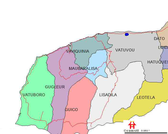
|||||||||||||||
|
|


|
Category |
Description |
|
Coverages |
This data
element includes information on the spatial extent of the coverage (.e.g.,
national, district). |
|
Comments |
This field
includes any relevant narrative information related to the coverage |
|
Resolution |
The pixel
size of the satellite imagery used for mapping. |
|
Minimum
mapping unit |
The minimum
size area of land cover (e.g., 1 hectare) that appears on the maps. |
|
Map
date |
The date the
source data was collected. |
|
Image
date |
The date the
source data was collected |
|
Image
type |
The type of
image used to create the coverage. |
|
Map
scale |
Scale of the
map or coverages developed |
|
Photo
scale |
Scale of the
airphotos used to create the coverage. |
|
Coordinate
system |
The specific
system used to reference the coverage to a geographic location. |
|
Projection |
The specific
projection used to display the data coverage. |
|
Classification
system |
The classification
system used in preparing land use/land cover maps or marine classes. |
|
GIS |
The GIS system
the data coverage is provided. |
|
Data
Type |
The data encoding
format of the coverage |
|
Next
scheduled update |
The date for
the next planned update of the data coverage (Full Tetum Language with AudioVisual File Support Planned) |
|
Availability |
This Data
Field contains Relevant Information on the Type of Media, Cost, and
Where Available for the Data (CAMSTL Server Drive No 009 | Under Directory 009 | District Profile | Vector Data Liquica |
|
Contact
Name |
T
|
|
Communication
|
CAMSTL - SERVER LOCALHOST IN DILI
|